March 16th, 2006: Iquique, Chile to Antofagasta, Chile
March 17th, 2006: Antofagasta, Chile to Chanaral, Chile
March 18th, 2006: Chanaral, Chile to La Serena, Chile
March 19th, 2006: La Serena, Chile to Santiago, Chile
 I haven't taken all that many pictures over the last while because there wasn't a heck of a lot to see in the northern region of Chile aside from a lot of sand. The distances between the cities are huge too. You could drive for almost 400km between cities (and consequently, gas stations as well!)
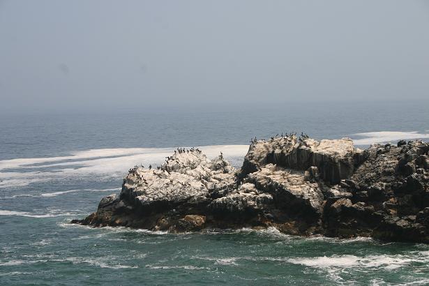
 which required some pretty good route planning. The only thing you see a lot of out here is mining operations. They mine copper by the trainload here, and also nitrates. Remember the movie "Ace Ventura, Pet Detective"? I couldn't get Jim Carrey's voice saying "guaaaaaannnno!!" out of my head everytime we passed the mines or the guano covered rocks in the ocean. For those of you who haven't seen the movie, guano is the term for the crunchy white bird poo that builds up on rocks and can be mined to use in fertilizers and various other things. In the first picture you can see the whole lot of pelicans perched happily on the rock contributing to the cause. The peculiar thing was that it looks as though it should be very hot in all that sand, but it was actually pretty crisp with the breeze coming off of the
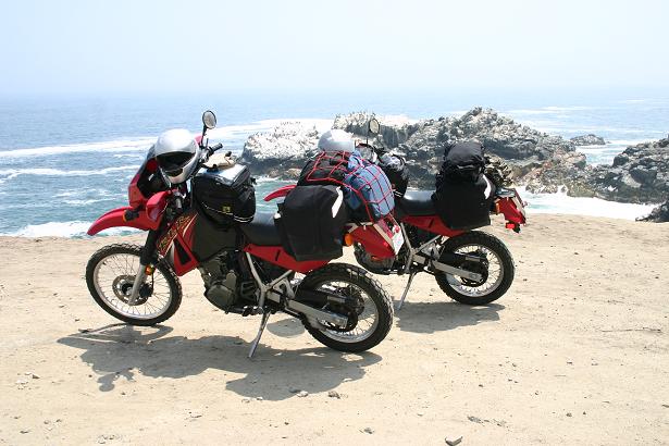

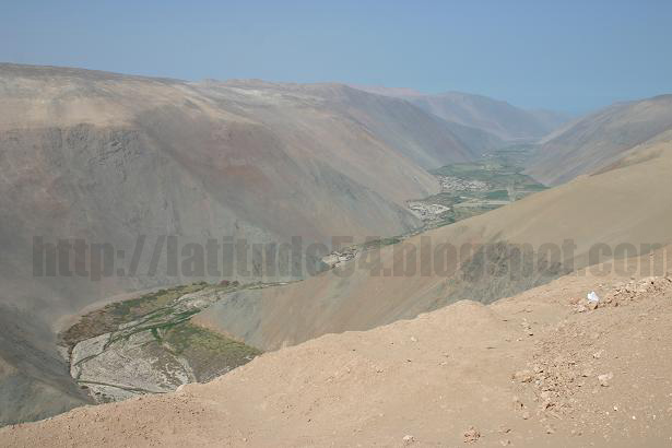
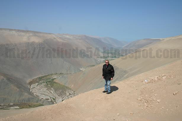
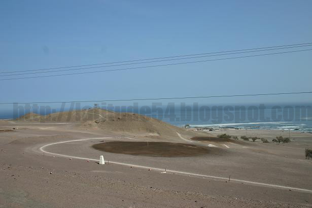 ocean. Our visors got a little fogged up with salt residue and sand as the day wore on. To give you an idea of how sandy it is, I've added a picture of a soccer field and the "green" of the local golf course. Yep, those pictures to the left.....look closely....that oil smudge in the middle of the sand is actually the golf green!! That wasn't even the driest area either! A little more south in Chile you pass through the Atacama desert region. It is officially the driest region in the world. They have not had rain for at least 400 years (likely more, its just that no one kept records before that).
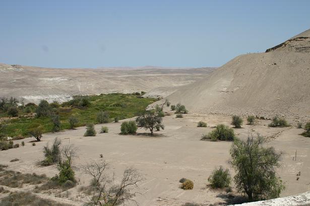


No comments:
Post a Comment