March 20th, 2006: Santiago, Chile to Talca, Chile March 21st, 2006: Talca, Chile to Osorno, Chile
March 22nd, 2006: Osorno, Chile to San Carlos De Bariloche, Argentina
March 23rd, 2006: San Carlos De Bariloche, Argentina to Esquel, Argentina
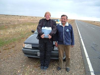
March 24th, 2006: Esquel, Argentina to Sarmiento, Argentina
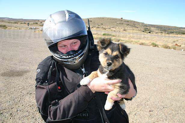
March 25th, 2006: Sarmiento, Argentina to San Julian, Argentina
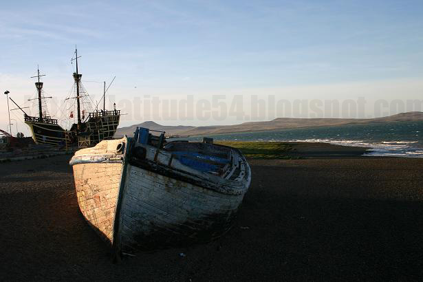
March 26th, 2006: San Julian, Argentina to Rio Gallegos, Argentina
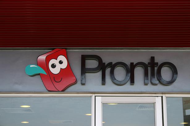
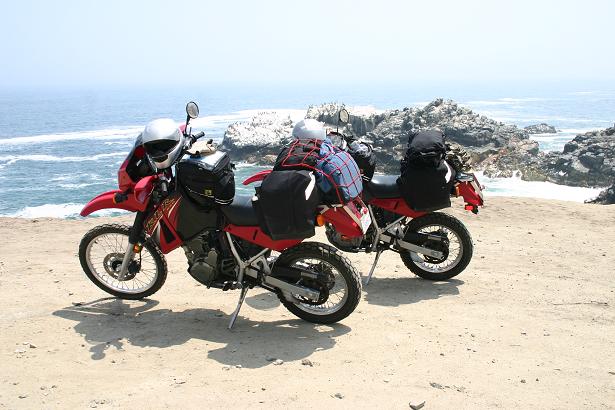
 We made pretty good time through the southern part of Chile because the roads were amazing. Along the way there were plenty of Copec gas stations which had Pronto snack bars attached to them. We became regulars there, and whenever we needed a hot cup of coffee and a mascot to cheer us on, the little red dude in the picture, or as we affectionately called him, "Spongebob Pronto Pants" was our man. Other than that, I don't have many pictures of southern Chile. It's not that it wasn't beautiful, it's just that it looks so much like Canada that it was hard to find something "different" to
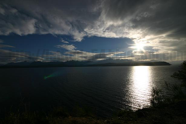
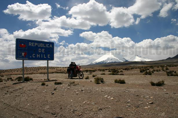
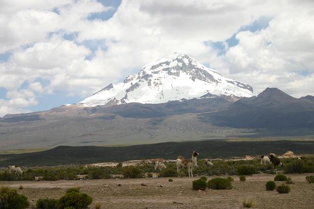
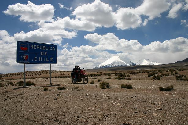
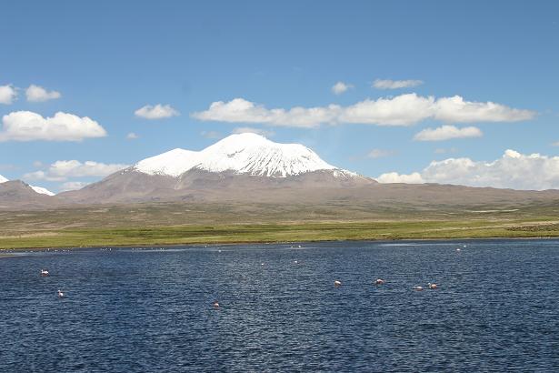
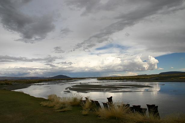
  take a picture of. There were a lot of vineyards and apple orchards lining the roads. You could almost swear you were in the Niagara region! After Osorno, we went eastwards towards San Carlos De Bariloche in Argentina. There is a 35km distance between the
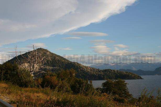
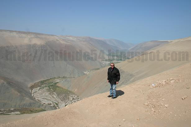
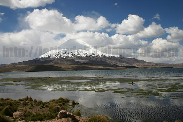
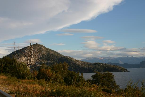
  Argentinian and Chilean border which takes you winding through mountains covered in large pine trees, volcanos, and beautiful lakes. As soon as you cross the border into Argentina there is a very small town which reminded me exactly of a Swiss ski resort. There were all sorts of log cabins and chalets which housed hotels, waffle houses, chocolaterias, cafes and souvenier shops. I later found out that there was
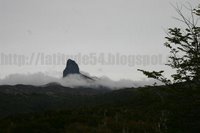 actually a ski hill nearby and that it was a bit of a resort town. Bariloche also has a bit of a Switzerland feel to it. We had dinner that night in a beautiful restaurant that resembled a chalet called La Alpina (The Alpine), which served among other things cheese and
  chocolate fondue. (I can hear Wendy's voice already.... "it should be called FUNdue"). We had to get a little bit used to the culinary culture here in Argentina though. My dad ordered a steak dinner and was a bit surprised when they came to the table with his steak on a plate and nothing else on it! We inquired and the waiter explained to us that if we
  wanted anything else on the side we had to order it separately!! Once you get used to the idea and remember to order a side dish it's actually a really good system because you can customize your meal to exactly your liking. We
 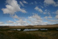 had a good laugh over our ignorance on the procedures first try though. Another cool food idea in Argentina is the "submarino" drink. It is really just a hot chocolate made with real cocoa, except that instead of serving it to you as a mixed chocolate drink they give you a cocoa puck in the shape of a submarine. You then dunk the submarine in your hot milk, and as it sinks it slowly melts into chocolatey goo which you can stir into the milk. How fun is THAT?! After leaving Bariloche we planned
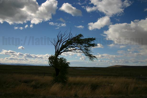
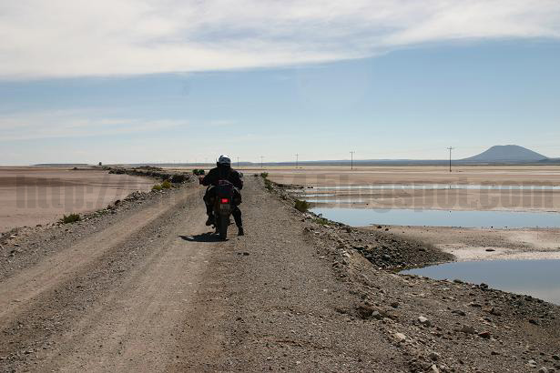
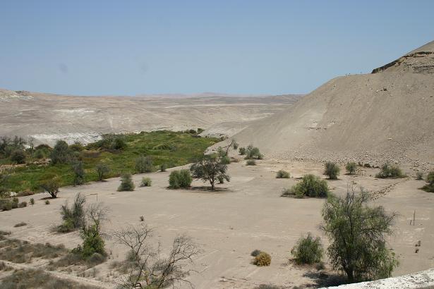
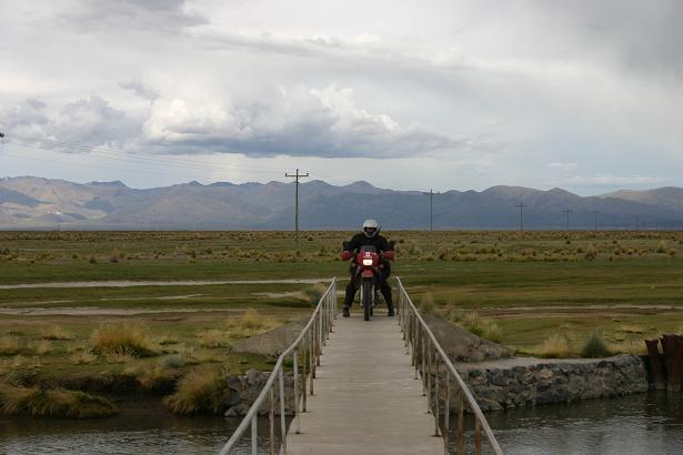
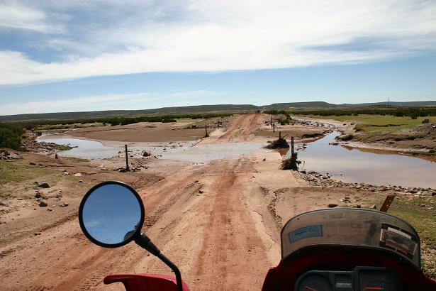
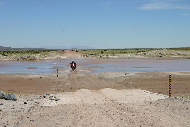
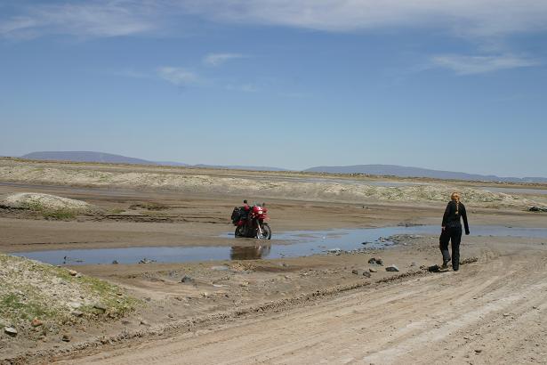
 to head east towards the coast. We started our drive but made absolutely horrible time!!! We got stuck in a downpour and by the time we arrived in Esquel we were totally miserable. Driving through the plains the wind was fierce (about 40-50km/h!!) and with the rain it chilled us right through to the bone. Even the trees and grass grew on slants! We thankfully had a super gas heater in the cabana we stayed
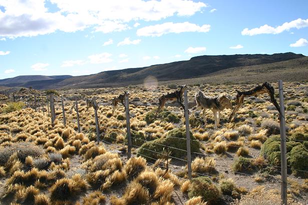
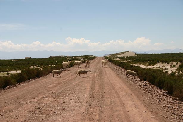
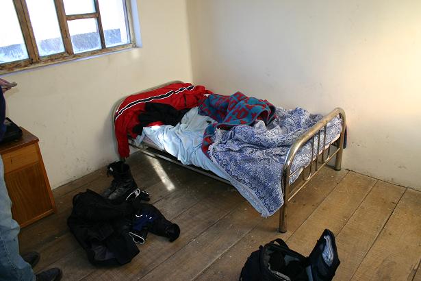
  in for the evening and were able to not only warm ourselves up, but also hang our clothes infront of it to let them dry off. The next day we came across the strangest (and quite possibly the most disturbing) site. There was a sheep farm that was located 32km in from the road. All that you could see was the rickety front gate covered with dried up coyotes and wild cats. I suppose the farmer didn't like them getting as his sheep, and left them there as a warning to any coyotes that started eyeing his flock!
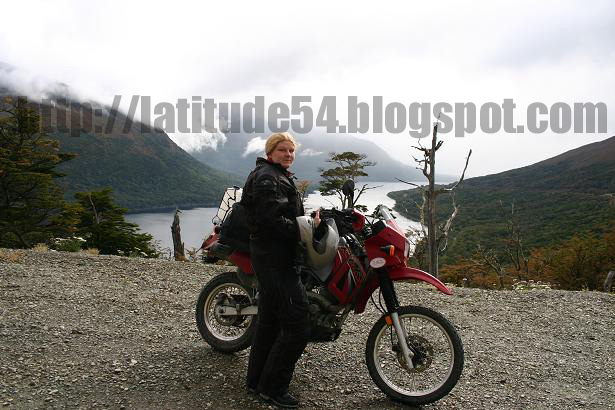
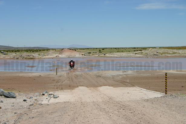
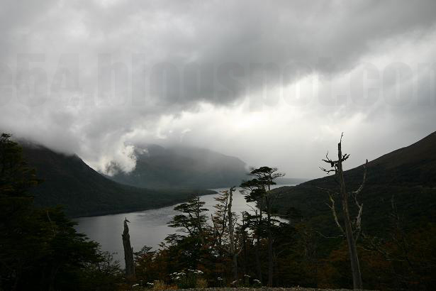
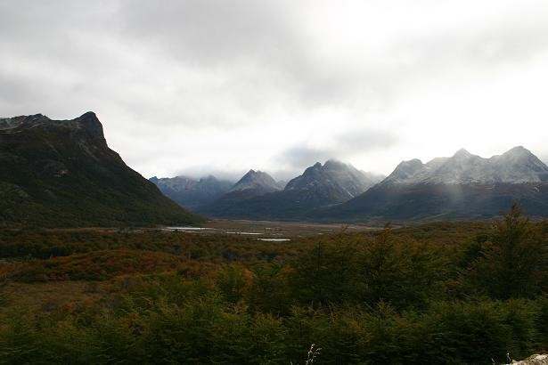
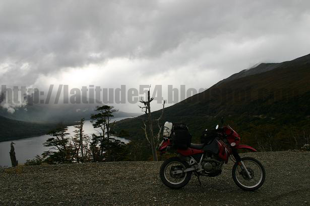 have made it without them! We hit a little bit of rain, but thankfully the scenery changed from the flat plains to beautiful mountains which made the driving much more enjoyable despite the weather. It was such interesting landscape. On the mountains you could clearly see the tree line where vegetation is no longer able to grow, then above the tree line you could see the rocky peaks, and at the very tops of the moutains there were ice slates that had the same blue-green colour as glaciers. Once
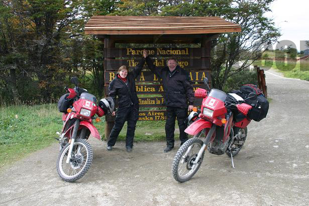
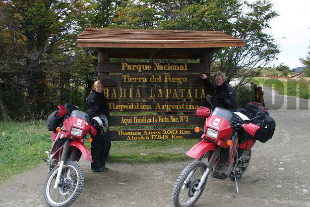
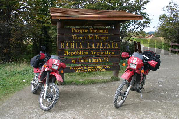
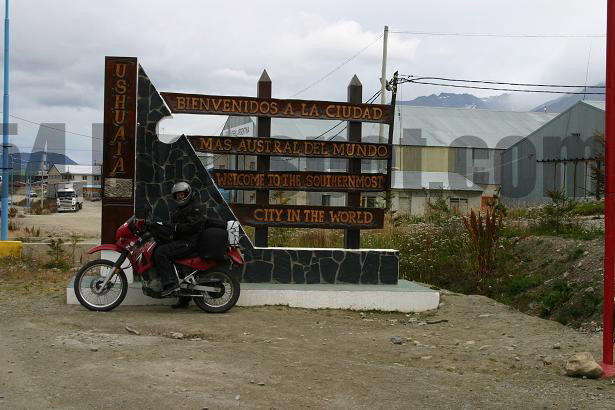
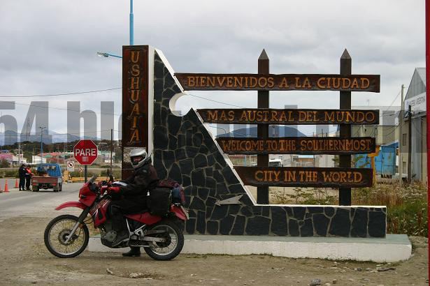
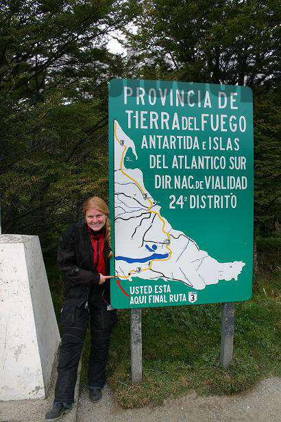
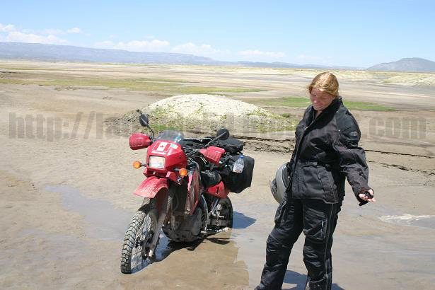
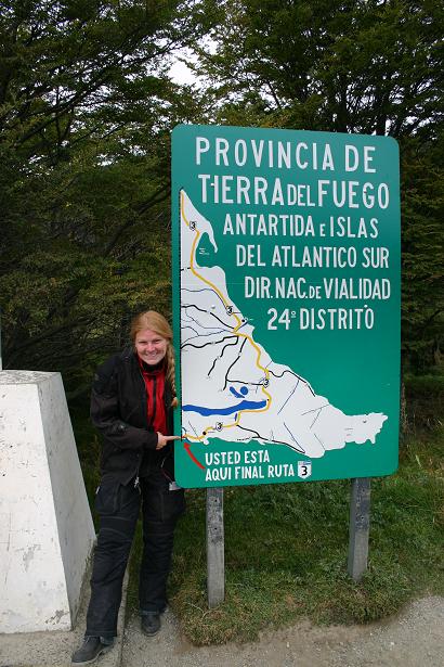
  we arrived at Ushuaia we were greeted by sunshine finally! Ushuaia is considered by many to be the southern most city in the world although there is a bit of controversy over this because the city of Punta Arenas in Chile is quite a bit larger than Ushuaia. Some people therefore consider Punta Arenas to be the southernmost city arguing that Ushuaia is the southernmost town....but Ushuaia's sign states that it is the southern most city in the world so we stuck with that. It is in Ushuaia that you literally get to the end of the road. Once you pass through the provincial park you hit the very end of the road which is marked by a large wooden sign and a small billboard. For the entire trip this was our target and now finally WE MADE IT!!!!!!!!!!!!!!!
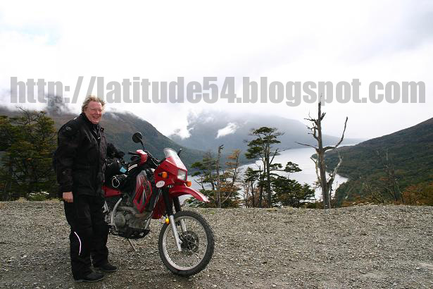


